2013
TL4311 : Parndon Mill Lock
taken 11 years ago, near to Eastwick, Hertfordshire, England
This is 1 of 4 images, with title Parndon Mill Lock in this square
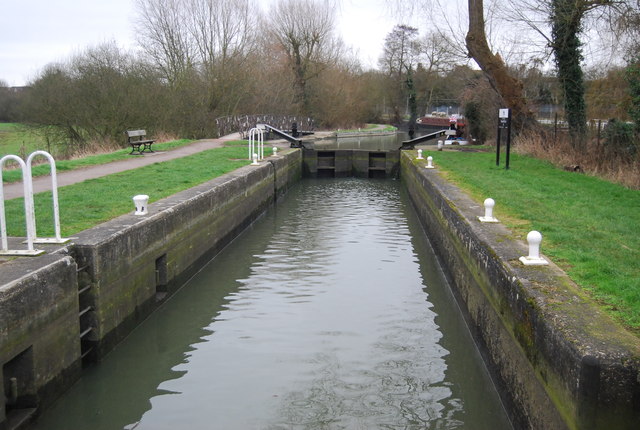
Parndon Mill Lock
The Stort Navigation is the canalised section of the River Stort running 22 kilometres (14 miles) from Bishop's Stortford downstream to its confluence with the River Lee Navigation at Hoddesdon.
For more details see the Wikipedia entry: Link
See other images of Stort Navigation
For more details see the Wikipedia entry: Link
See other images of Stort Navigation
 Map © Crown Copyright")
TIP: Click the map for more Large scale mapping
- Grid Square
- TL4311, 83 images (more nearby 🔍)
- Photographer
- N Chadwick (more nearby)
- Date Taken
- Sunday, 3 February, 2013 (more nearby)
- Submitted
- Friday, 21 June, 2013
- Subject Location
-
OSGB36:
 TL 4371 1111 [10m precision]
WGS84: 51:46.8125N 0:4.9087E - Camera Location
-
OSGB36: TL 4369 1111
- View Direction
- EAST (about 90 degrees)