2013
SV9416 : The Day Mark, St Martin's Head
taken 11 years ago, near to Higher Town, Isles of Scilly, England
This is 1 of 2 images, with title The Day Mark, St Martin's Head in this square
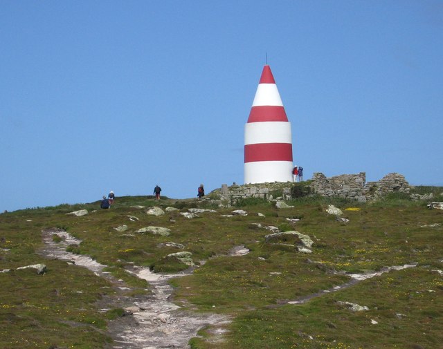
The Day Mark, St Martin's Head
 Map © Crown Copyright")
TIP: Click the map for more Large scale mapping
- Grid Square
- SV9416, 24 images (more nearby 🔍)
- Photographer
- Dave Croker (more nearby)
- Date Taken
- Thursday, 13 June, 2013 (more nearby)
- Submitted
- Sunday, 23 June, 2013
- Subject Location
-
OSGB36:
 SV 9419 1606 [10m precision]
WGS84: 49:57.9708N 6:15.9597W - Camera Location
-
OSGB36: SV 9425 1601
- View Direction
- Northwest (about 315 degrees)