2013
TQ2174 : Palewell Park: footbridge over Beverley Brook
taken 11 years ago, near to Mortlake, Richmond Upon Thames, England
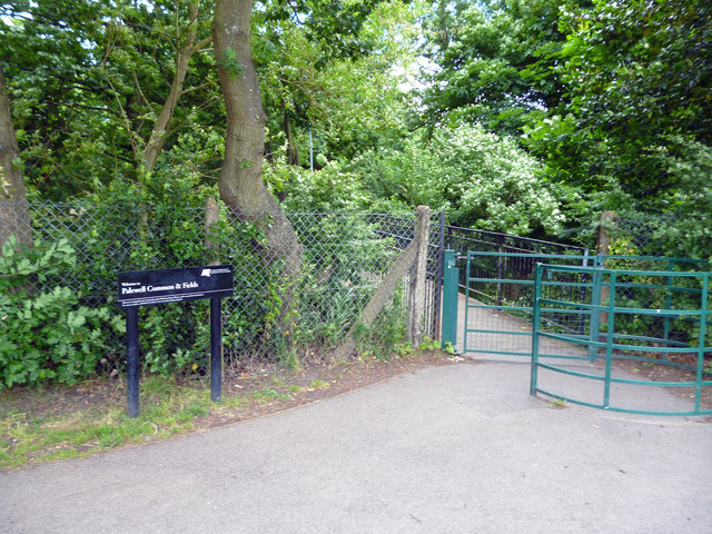
Palewell Park: footbridge over Beverley Brook
By this footbridge one exits the park, and a footpath leads to the National Tennis Centre and the public road system at Bank Lane.
 Map © Crown Copyright")
TIP: Click the map for more Large scale mapping
- Grid Square
- TQ2174, 177 images (more nearby 🔍)
- Photographer
- Dr Neil Clifton (more nearby)
- Date Taken
- Sunday, 23 June, 2013 (more nearby)
- Submitted
- Monday, 24 June, 2013
- Subject Location
-
OSGB36:
 TQ 2112 7493 [10m precision]
WGS84: 51:27.6238N 0:15.4781W - Camera Location
-
OSGB36: TQ 2106 7493
- View Direction
- EAST (about 90 degrees)