2013
SP4540 : Oxford Canal, Liftbridge (#164) at Banbury
taken 11 years ago, near to Banbury, Oxfordshire, England
This is 1 of 28 images, with title starting with Oxford Canal in this square
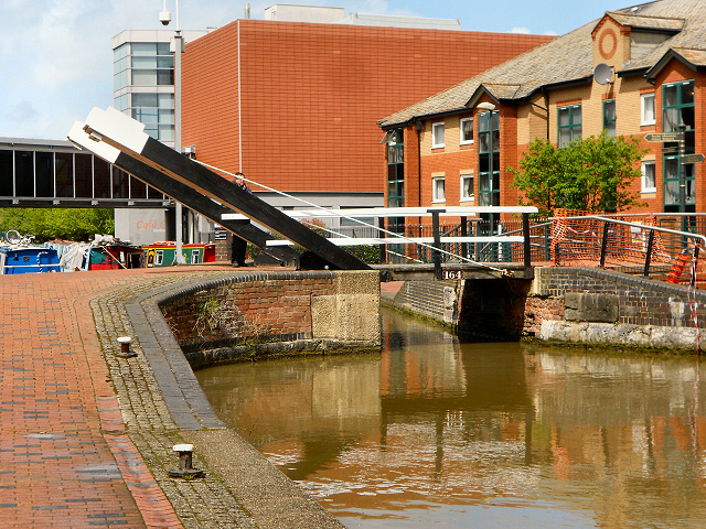
Oxford Canal, Liftbridge (#164) at Banbury
The Oxford Canal is a 78-mile-long (126 km) narrow canal linking Oxford with Coventry via Banbury and Rugby. It connects with the River Thames at Oxford, to the Grand Union Canal at the villages of Braunston and Napton-on-the-Hill, and to the Coventry Canal at Hawkesbury Junction in Bedworth just north of Coventry.
The canal was once an important artery of trade between the English Midlands and London, and is now highly popular among pleasure boaters.
Link
See other images of Oxford Canal
The canal was once an important artery of trade between the English Midlands and London, and is now highly popular among pleasure boaters.
Link
See other images of Oxford Canal
 Map © Crown Copyright")
TIP: Click the map for more Large scale mapping
- Grid Square
- SP4540, 1257 images (more nearby 🔍)
- Photographer
- David Dixon (more nearby)
- Date Taken
- Monday, 13 May, 2013 (more nearby)
- Submitted
- Tuesday, 25 June, 2013
- Subject Location
-
OSGB36:
 SP 4582 4075 [10m precision]
WGS84: 52:3.7943N 1:19.9829W - Camera Location
-
OSGB36: SP 4584 4072
- View Direction
- North-northwest (about 337 degrees)