2013
NZ3436 : The Davy Lamp at Kelloe
taken 11 years ago, near to Kelloe, County Durham, England
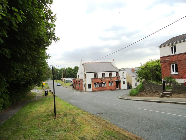
The Davy Lamp at Kelloe
A pub of this name is shown on the first Ordnance Survey map of the 1860's, but this particular building looks much later than that.
![Creative Commons Licence [Some Rights Reserved]](https://s1.geograph.org.uk/img/somerights20.gif)


TIP: Click the map for more Large scale mapping
- Grid Square
- NZ3436, 20 images (more nearby 🔍)
- Photographer
- Robert Graham (more nearby)
- Date Taken
- Wednesday, 19 June, 2013 (more nearby)
- Submitted
- Friday, 28 June, 2013
- Subject Location
-
OSGB36:
 NZ 3423 3635 [10m precision]
WGS84: 54:43.2593N 1:28.2065W - Camera Location
-
OSGB36: NZ 3416 3633
- View Direction
- East-northeast (about 67 degrees)


