2013
TQ6968 : Footpath, Cobham Wood
taken 11 years ago, near to Shorne, Kent, England
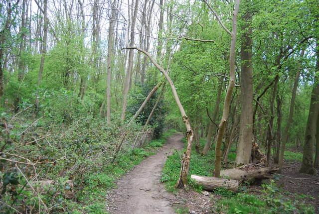
Footpath, Cobham Wood
Cobham Woods is an area of woodland, a Site of Special Scientific Interest (SSSI) and part of the Kent Downs Area of Outstanding Natural Beauty (AONB), located between Strood, Cuxton and Cobham in Kent. The SSSI includes the arable land in the Ranscombe Farm country park and nature reserve.
The woodland is largely sweet chestnut coppice with some coniferous plantations, while the parkland is mature woodland, with some clearings, of oak, sweet chestnut, beech, hornbeam, and other species. The soils range from acidic Thanet Sands to Upper Cretaceous Chalk. Managed grazing by deer, created woodland pastures devoid of ground shrubs, this has reverted but is being re-established. The arable land, has been a noted spot for botanists since the 1690s, and references to it occur in books on Chalk Grassland.
See other images of Cobham Woods
 Map © Crown Copyright")
TIP: Click the map for more Large scale mapping
- Grid Square
- TQ6968, 55 images (more nearby 🔍)
- Photographer
- N Chadwick (more nearby)
- Date Taken
- Saturday, 4 May, 2013 (more nearby)
- Submitted
- Monday, 1 July, 2013
- Subject Location
-
OSGB36:
 TQ 6987 6889 [10m precision]
WGS84: 51:23.6172N 0:26.4161E - Camera Location
-
OSGB36: TQ 6988 6887
- View Direction
- North-northwest (about 337 degrees)