2013
J2766 : Two road alignments, Lambeg
taken 11 years ago, near to Lambeg, Co Antrim, Northern Ireland
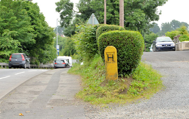
Two road alignments, Lambeg
The Belfast end of the present and previous lines of Queensway (at Derryvolgie Park) explained in J2765 : Lay-by at Hilden.
Loading map... (JavaScript required)
- Grid Square
- J2766, 119 images (more nearby 🔍)
- Photographer
- Albert Bridge (more nearby)
- Date Taken
- Friday, 5 July, 2013 (more nearby)
- Submitted
- Friday, 5 July, 2013
- Subject Location
-
Irish:
 J 276 664 [100m precision]
WGS84: 54:31.8366N 6:1.7820W - Camera Location
-
Irish: J 276 664
- View Direction
- SOUTH (about 180 degrees)