2013
TA1767 : Old Bridlington YO16
taken 11 years ago, near to Bridlington, East Riding of Yorkshire, England
This is 1 of 8 images, with title Old Bridlington YO16 in this square
Old Bridlington YO16
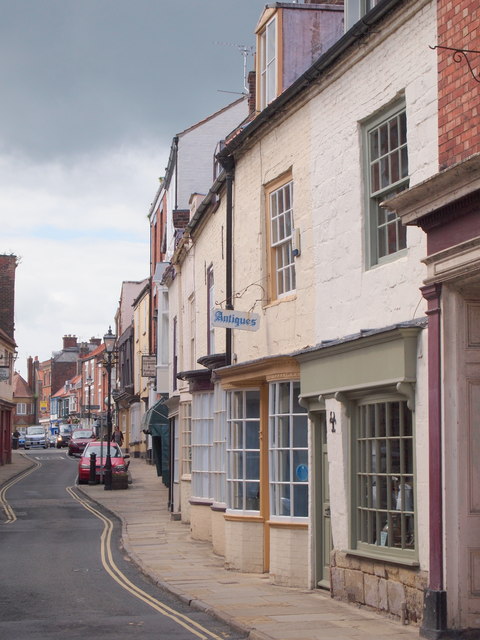
A quarter(?) of the way along High Street. The other end of High Street becomes Westgate.
 Map © Crown Copyright")
TIP: Click the map for more Large scale mapping
- Grid Square
- TA1767, 1497 images (more nearby 🔍)
- Photographer
- David Hallam-Jones (more nearby)
- Date Taken
- Friday, 5 July, 2013 (more nearby)
- Submitted
- Tuesday, 16 July, 2013
- Subject Location
-
OSGB36:
 TA 1742 6784 [10m precision]
WGS84: 54:5.5846N 0:12.3679W - Camera Location
-
OSGB36: TA 1742 6784
- View Direction
- West-southwest (about 247 degrees)