2013
NS3979 : View to Millburn Park
taken 11 years ago, near to Bonhill, West Dunbartonshire, Scotland
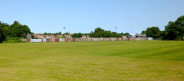
View to Millburn Park
Millburn Park itself is the enclosed area in the background: see NS3979 : Millburn Park and NS3979 : Millburn Park. The open area in the foreground is Lesser Millburn Park; it is a cricket ground, and is labelled as such on large-scale OS mapping. Not long after this picture was taken, the area was fenced off from the riverside path / cycle route.
 Map © Crown Copyright")
TIP: Click the map for more Large scale mapping
- Grid Square
- NS3979, 205 images (more nearby 🔍)
- Photographer
- Lairich Rig (more nearby)
- Date Taken
- Sunday, 7 July, 2013 (more nearby)
- Submitted
- Thursday, 18 July, 2013
- Subject Location
-
OSGB36:
 NS 3929 7941 [10m precision]
WGS84: 55:58.8408N 4:34.6411W - Camera Location
-
OSGB36: NS 3932 7929
- View Direction
- North-northwest (about 337 degrees)