2013
TQ2365 : North Cheam: Clarke's Avenue
taken 11 years ago, near to Worcester Park, Sutton, England
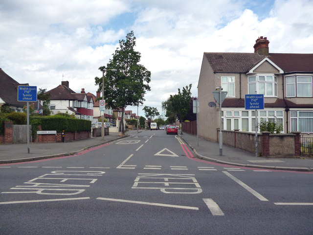
North Cheam: Clarke's Avenue
From its junction with London Road
 Map © Crown Copyright")
TIP: Click the map for more Large scale mapping
- Grid Square
- TQ2365, 41 images (more nearby 🔍)
- Photographer
- Dr Neil Clifton (more nearby)
- Date Taken
- Friday, 26 July, 2013 (more nearby)
- Submitted
- Friday, 26 July, 2013
- Subject Location
-
OSGB36:
 TQ 2383 6584 [10m precision]
WGS84: 51:22.6870N 0:13.3292W - Camera Location
-
OSGB36: TQ 2391 6578
- View Direction
- Northwest (about 315 degrees)