2013
SO1043 : Peak of Twyn y Garth viewed from Erwood
taken 11 years ago, near to Erwood, Powys, Wales
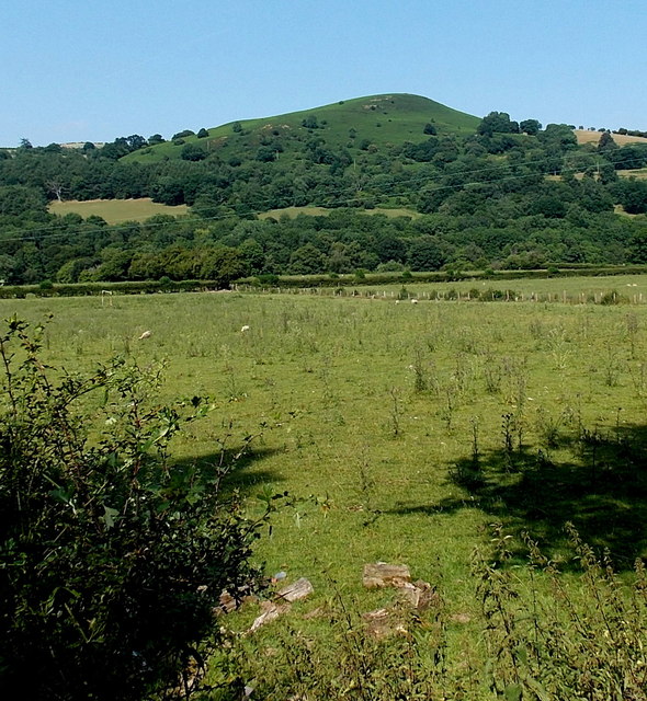
Peak of Twyn y Garth viewed from Erwood
The peak is 325 metres above mean sea level (MSL).
Viewed from the edge of the A470 at about 120 metres above MSL.
Viewed from the edge of the A470 at about 120 metres above MSL.
 Map © Crown Copyright")
TIP: Click the map for more Large scale mapping
- Grid Square
- SO1043, 12 images (more nearby 🔍)
- Photographer
- Jaggery (more nearby)
- Date Taken
- Sunday, 21 July, 2013 (more nearby)
- Submitted
- Friday, 26 July, 2013
- Subject Location
-
OSGB36:
 SO 1073 4376 [10m precision]
WGS84: 52:5.0981N 3:18.2535W - Camera Location
-
OSGB36: SO 0996 4296
- View Direction
- Northeast (about 45 degrees)