2013
SK8037 : The Grantham Canal (disused)
taken 11 years ago, near to Bottesford, Leicestershire, England
This is 1 of 2 images, with title starting with The Grantham Canal in this square
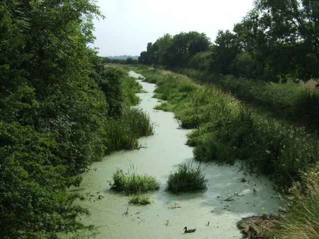
The Grantham Canal (disused)
 Map © Crown Copyright")
TIP: Click the map for more Large scale mapping
- Grid Square
- SK8037, 40 images (more nearby 🔍)
- Photographer
- JThomas (more nearby)
- Date Taken
- Saturday, 27 July, 2013 (more nearby)
- Submitted
- Monday, 29 July, 2013
- Subject Location
-
OSGB36:
 SK 8048 3735 [10m precision]
WGS84: 52:55.6522N 0:48.2546W - Camera Location
-
OSGB36: SK 80506 37378
- View Direction
- Southwest (about 225 degrees)