2013
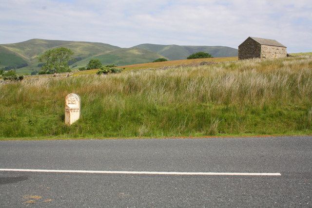
SD6891 : Milestone beside A684 at Garsdale Rigg
taken 13 years ago, near to West Mostard, Cumbria, England
This is 1 of 2 images, with title Milestone beside A684 at Garsdale Rigg in this square
Milestone beside A684 at Garsdale Rigg
There is an OS benchmark SD6891 : Benchmark on milestone Sedbergh 2 on the top of the milestone and possibly the remains of a 1845 benchmark SD6891 : Erased benchmark on side of Sedbergh 2 milestone on its left side. The milestone indicates 2 miles to Sedbergh and 14 miles to Hawes


TIP: Click the map for more Large scale mapping
- Grid Square
- SD6891, 36 images (more nearby 🔍)
- Photographer
- Roger Templeman (more nearby)
- Date Taken
- Wednesday, 17 July, 2013 (more nearby)
- Submitted
- Monday, 29 July, 2013
- Subject Location
-
OSGB36:
 SD 6866 9134
[10m precision]
WGS84: 54:19.0007N 2:28.9960W - Camera Location
-
OSGB36:
SD 6867 9133
- View Direction
- North-northwest (about 337 degrees)


