2013
SD9825 : Lower Rough Head Farm
taken 11 years ago, near to Eastwood, Calderdale, England
This is 1 of 2 images, with title Lower Rough Head Farm in this square
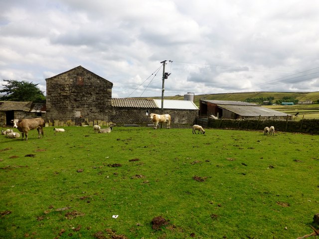
Lower Rough Head Farm
A Simmental bull, a suckler cow and a few sheep in this field beside Lower Rough Head Farm which is also close to the Pennine Way.
 Map © Crown Copyright")
TIP: Click the map for more Large scale mapping
- Grid Square
- SD9825, 61 images (more nearby 🔍)
- Photographer
- Rude Health (more nearby)
- Date Taken
- Tuesday, 6 August, 2013 (more nearby)
- Submitted
- Tuesday, 6 August, 2013
- Subject Location
-
OSGB36:
 SD 9802 2536 [10m precision]
WGS84: 53:43.4784N 2:1.8891W - Camera Location
-
OSGB36: SD 9801 2535
- View Direction
- East-northeast (about 67 degrees)