2007
TF3815 : Grange Hill Road
taken 17 years ago, 3 km from Sutton st James, Lincolnshire, England
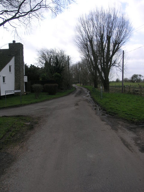
Grange Hill Road
Grange Hill Road must take its name from the children's television series since there is not a hill for miles around. The lane marks the boundary between Lincolnshire on the right and Cambridgeshire on the left.
 Map © Crown Copyright")
TIP: Click the map for more Large scale mapping
- Grid Square
- TF3815, 7 images (more nearby 🔍)
- Photographer
- Michael Patterson (more nearby)
- Date Taken
- Friday, 9 March, 2007 (more nearby)
- Submitted
- Friday, 9 March, 2007
- Subject Location
-
OSGB36:
 TF 387 156 [100m precision]
WGS84: 52:43.2370N 0:3.1990E - Camera Location
-
OSGB36: TF 389 157
- View Direction
- Southwest (about 225 degrees)