2013
SE9025 : Buoy 32C, Whitton Channel, River Humber
taken 11 years ago, near to Whitton, North Lincolnshire, England
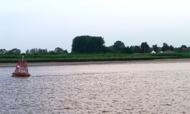
Buoy 32C, Whitton Channel, River Humber
Marking the navigable channel from Trent Falls to the sea. The buoys are moved as and when the mudbanks and sandbanks move. Seen from the barge Sobriety, heading upstream on a rising tide.
 Map © Crown Copyright")
TIP: Click the map for more Large scale mapping
- Grid Square
- SE9025, 5 images (more nearby 🔍)
- Photographer
- Christine Johnstone (more nearby)
- Date Taken
- Tuesday, 23 July, 2013 (more nearby)
- Submitted
- Tuesday, 13 August, 2013
- Subject Location
-
OSGB36:
 SE 90603 25091 [1m precision]
WGS84: 53:42.8629N 0:37.7192W - Camera Location
-
OSGB36: SE 9065 2517
- View Direction
- South-southwest (about 202 degrees)