2012
SN4500 : Signalbox PY, Burry Port
taken 12 years ago, near to Burry Port, Carmarthenshire/Sir Gaerfyrddin, Wales
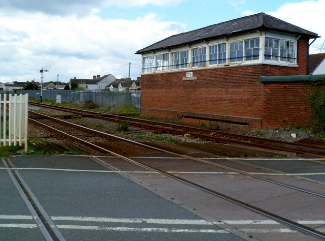
Signalbox PY, Burry Port
Viewed from Church Road across a level crossing. The signalbox carries the identifier PY (short for Pembrey). The box is about 600 metres east of Pembrey and Burry Port railway station on the West Wales Line.
 Map © Crown Copyright")
TIP: Click the map for more Large scale mapping
- Grid Square
- SN4500, 43 images (more nearby 🔍)
- Photographer
- Jaggery (more nearby)
- Date Taken
- Sunday, 15 April, 2012 (more nearby)
- Submitted
- Saturday, 17 August, 2013
- Subject Location
-
OSGB36:
 SN 4513 0079 [10m precision]
WGS84: 51:41.0672N 4:14.5000W - Camera Location
-
OSGB36: SN 4515 0077
- View Direction
- Northwest (about 315 degrees)