2013
SD7908 : Hinds Lane Level Crossing Control
taken 11 years ago, near to Fishpool, Bury, England
This is 1 of 2 images, with title starting with Hinds Lane Level Crossing in this square
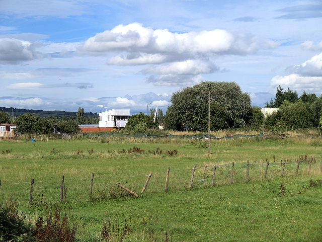
Hinds Lane Level Crossing Control
Viewed from the towpath of the Manchester, Bolton and Bury Canal.
 Map © Crown Copyright")
TIP: Click the map for more Large scale mapping
- Grid Square
- SD7908, 253 images (more nearby 🔍)
- Photographer
- David Dixon (more nearby)
- Date Taken
- Thursday, 15 August, 2013 (more nearby)
- Submitted
- Tuesday, 20 August, 2013
- Subject Location
-
OSGB36:
 SD 7937 0897 [10m precision]
WGS84: 53:34.6150N 2:18.7822W - Camera Location
-
OSGB36: SD 7923 0885
- View Direction
- Northeast (about 45 degrees)