2013
SO6544 : Hop field
taken 11 years ago, near to Canon Frome, County of Herefordshire, England
This is 1 of 4 images, with title Hop field in this square
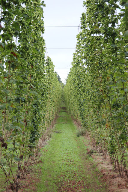
Hop field
A traditional Hop Field, or Hop Garden, was formed by rows of poles or strings 16 feet high. Modern fields are about 10 feet high. The hop plant starts growing in spring and grows up the pole or string, until September when it is harvested. Hops are dried and used for flavouring beer.
read more Link
See other images of Hop fields
See other images of Hop fields
 Map © Crown Copyright")
TIP: Click the map for more Large scale mapping
- Grid Square
- SO6544, 15 images (more nearby 🔍)
- Photographer
- Oast House Archive (more nearby)
- Date Taken
- Saturday, 17 August, 2013 (more nearby)
- Submitted
- Wednesday, 21 August, 2013
- Subject Location
-
OSGB36:
 SO 657 448 [100m precision]
WGS84: 52:6.0495N 2:30.1295W - Camera Location
-
OSGB36: SO 656 448
- View Direction
- North-northeast (about 22 degrees)