2013
TQ4079 : River Thames, Bugsby's Reach
taken 11 years ago, near to Greenwich, England
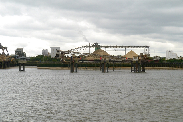
River Thames, Bugsby's Reach
 Map © Crown Copyright")
TIP: Click the map for more Large scale mapping
- Grid Square
- TQ4079, 244 images (more nearby 🔍)
- Photographer
- David Dixon (more nearby)
- Date Taken
- Wednesday, 15 May, 2013 (more nearby)
- Submitted
- Tuesday, 27 August, 2013
- Subject Location
-
OSGB36:
 TQ 402 793 [100m precision]
WGS84: 51:29.7310N 0:1.1553E - Camera Location
-
OSGB36: TQ 404 794
- View Direction
- West-southwest (about 247 degrees)