2013
TG2902 : Church Road, Yelverton
taken 11 years ago, near to Yelverton, Norfolk, England
This is 1 of 4 images, with title Church Road, Yelverton in this square
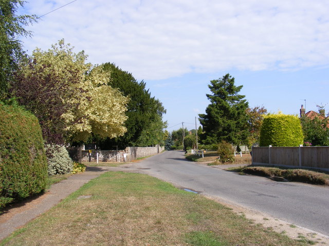
Church Road, Yelverton
Looking towards St.Mary's Church at the junction with Church Meadow
 Map © Crown Copyright")
TIP: Click the map for more Large scale mapping
- Grid Square
- TG2902, 144 images (more nearby 🔍)
- Photographer
- Geographer (more nearby)
- Date Taken
- Friday, 23 August, 2013 (more nearby)
- Submitted
- Thursday, 29 August, 2013
- Subject Location
-
OSGB36:
 TG 29294 02110 [1m precision]
WGS84: 52:34.1073N 1:22.9209E - Camera Location
-
OSGB36: TG 29298 02091
- View Direction
- North-northwest (about 337 degrees)