2013
SP0366 : Evesham Road crosses Bromsgrove Highway, Headless Cross, Redditch
taken 11 years ago, near to Headless Cross, Worcestershire, England
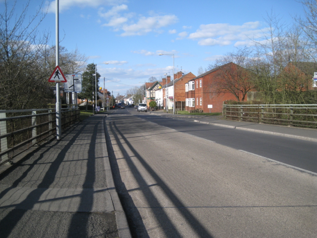
Evesham Road crosses Bromsgrove Highway, Headless Cross, Redditch
A contrast of scale: Evesham Road on a motorway-style overbridge becomes Mount Pleasant, a suburban street of mixed modest two-storey properties.
Headless Cross, Redditch
The name first appeared in 1275. The village commanded a long view to the east from the ridge now followed by the Evesham Road. In the early 19th century it grew around the manufacture of needles, springs and fish-hooks. Headless Cross became part of Redditch district in 1875 although most of it was rolling Worcestershire countryside. Being the highest point of Redditch the East Worcestershire Waterworks built a water tower in 1882. It was replaced by the present concrete structure that is a Redditch landmark. The Vaynor estate was built in the 1950s. Headless Cross was absorbed by Redditch new town from the mid-1960s.
Culled from 'Old Redditch Voices' by Anne Bradford, Redditch: Hunt End Books 2005, ISBN 0-9519481-4-8
 Map © Crown Copyright")
TIP: Click the map for more Large scale mapping
- Grid Square
- SP0366, 62 images (more nearby 🔍)
- Photographer
- Robin Stott (more nearby)
- Date Taken
- Wednesday, 3 April, 2013 (more nearby)
- Submitted
- Thursday, 29 August, 2013
- Subject Location
-
OSGB36:
 SP 0379 6632 [10m precision]
WGS84: 52:17.6998N 1:56.7510W - Camera Location
-
OSGB36: SP 0378 6630
- View Direction
- North-northeast (about 22 degrees)