2013
SZ1090 : Bournemouth Air Festival 2013: RAF Red Arrows (4)
taken 11 years ago, near to Boscombe, Bournemouth, Christchurch & Poole, England
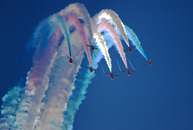
Bournemouth Air Festival 2013: RAF Red Arrows (4)
 Map © Crown Copyright")
TIP: Click the map for more Large scale mapping
- Grid Square
- SZ1090, 107 images (more nearby 🔍)
- Photographer
- Mike Searle (more nearby)
- Date Taken
- Saturday, 31 August, 2013 (more nearby)
- Submitted
- Sunday, 1 September, 2013
- Subject Location
-
OSGB36:
 SZ 104 908 [100m precision]
WGS84: 50:43.0043N 1:51.2431W - Camera Location
-
OSGB36: SZ 104 910