2013
TG4806 : Angles Way, alongside Breydon Water
taken 11 years ago, near to Burgh Castle, Norfolk, England
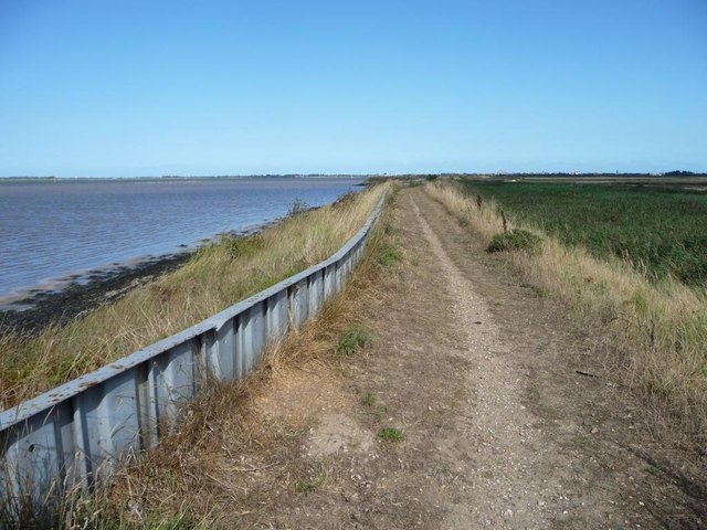
Angles Way, alongside Breydon Water
Looking north-east.
 Map © Crown Copyright")
TIP: Click the map for more Large scale mapping
- Grid Square
- TG4806, 12 images (more nearby 🔍)
- Photographer
- Christine Johnstone (more nearby)
- Date Taken
- Saturday, 31 August, 2013 (more nearby)
- Submitted
- Friday, 6 September, 2013
- Subject Location
-
OSGB36:
 TG 4895 0645 [10m precision]
WGS84: 52:35.9256N 1:40.4817E - Camera Location
-
OSGB36: TG 4893 0644
- View Direction
- East-northeast (about 67 degrees)