2013
NU2519 : Looking across Craster Harbour from beside the south Pier
taken 11 years ago, near to Craster, Northumberland, England
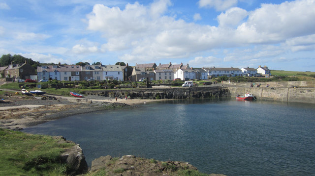
Looking across Craster Harbour from beside the south Pier
Looking across Craster Harbour from beside the South Pier.
 Map © Crown Copyright")
TIP: Click the map for more Large scale mapping
- Grid Square
- NU2519, 436 images (more nearby 🔍)
- Photographer
- Graham Robson (more nearby)
- Date Taken
- Saturday, 31 August, 2013 (more nearby)
- Submitted
- Saturday, 7 September, 2013
- Subject Location
-
OSGB36:
 NU 2583 1997 [10m precision]
WGS84: 55:28.3728N 1:35.5772W - Camera Location
-
OSGB36: NU 2588 1993
- View Direction
- Northwest (about 315 degrees)