2013
NZ0593 : Roughlees Farm
taken 11 years ago, near to Coldrife, Northumberland, England
This is 1 of 4 images, with title Roughlees Farm in this square
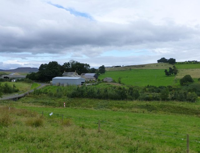
Roughlees Farm
On the road to Fontburn Reservoir.
 Map © Crown Copyright")
TIP: Click the map for more Large scale mapping
- Grid Square
- NZ0593, 9 images (more nearby 🔍)
- Photographer
- Russel Wills (more nearby)
- Date Taken
- Tuesday, 10 September, 2013 (more nearby)
- Submitted
- Wednesday, 11 September, 2013
- Subject Location
-
OSGB36:
 NZ 0568 9337 [10m precision]
WGS84: 55:14.0704N 1:54.7338W - Camera Location
-
OSGB36: NZ 05742 93206
- View Direction
- North-northwest (about 337 degrees)