2013
SK8531 : Landscape near Denton
taken 11 years ago, near to Harston, Leicestershire, England
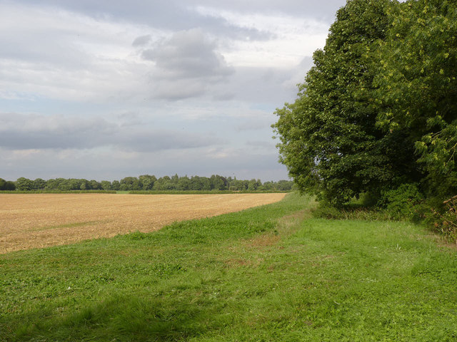
Landscape near Denton
Looking east from The Drift. This area was quarried for ironstone until the 1970s.
 Map © Crown Copyright")
TIP: Click the map for more Large scale mapping
- Grid Square
- SK8531, 34 images (more nearby 🔍)
- Photographer
- Alan Murray-Rust (more nearby)
- Date Taken
- Wednesday, 21 August, 2013 (more nearby)
- Submitted
- Thursday, 12 September, 2013
- Subject Location
-
OSGB36:
 SK 851 317 [100m precision]
WGS84: 52:52.5952N 0:44.2108W - Camera Location
-
OSGB36: SK 850 317
- View Direction
- East-northeast (about 67 degrees)