2008
SO4385 : Northwards view - Wistanstow, Shropshire
taken 16 years ago, near to Wistanstow, Shropshire, England
Northwards view - Wistanstow, Shropshire
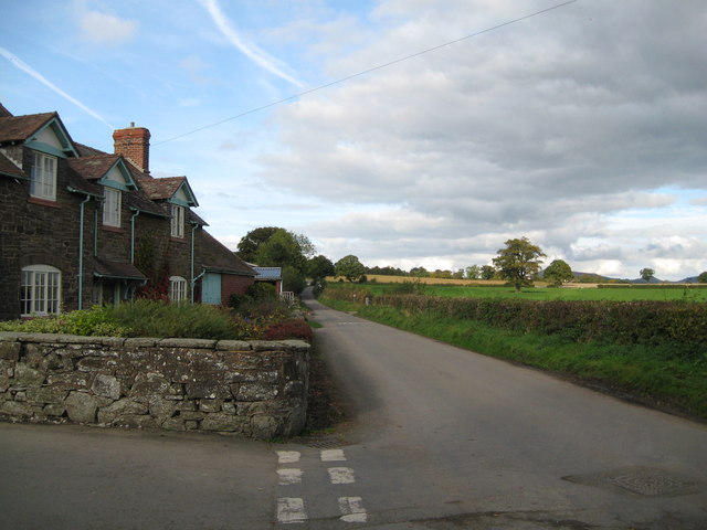
On the northern edge of Wistanstow village, this lane will take the traveller to Leamoor Common and Bushmoor. The village, named after St Wystan, is sited on the Roman road between Wroxeter (Uriconium) and Leintwardine (Bravinium) and the parish church dates from Norman times with many features of interest. Nearby is The Monument - aka (also known as) Flounders Folly (opening restricted, see website) - from where, on top of Callow Hill, there are wide-ranging views. Wistanstow is worth a visit is my unbiased opinion. Time taken 2.46 pm BST (British Summer Time).
SO4385 : Four ways to go - Wistanstow, Shropshire
SO4385 : Four ways to go - Wistanstow, Shropshire
 Map © Crown Copyright")
TIP: Click the map for more Large scale mapping
- Grid Square
- SO4385, 120 images (more nearby 🔍)
- Photographer
- Martin Richard Phelan (more nearby)
- Date Taken
- Friday, 17 October, 2008 (more nearby)
- Submitted
- Friday, 13 September, 2013
- Subject Location
-
OSGB36:
 SO 4319 8585 [10m precision]
WGS84: 52:28.0571N 2:50.2606W - Camera Location
-
OSGB36: SO 4318 8578
- View Direction
- NORTH (about 0 degrees)