2013
NH6448 : Main Street, Charleston
taken 11 years ago, near to Charlestown, Highland, Scotland
This is 1 of 5 images, with title Main Street, Charleston in this square
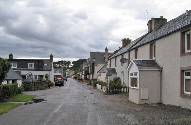
Main Street, Charleston
Looking west. The shore of the Beauly Firth is immediately behind the buildings on the left.
 Map © Crown Copyright")
TIP: Click the map for more Large scale mapping
- Grid Square
- NH6448, 65 images (more nearby 🔍)
- Photographer
- Richard Dorrell (more nearby)
- Date Taken
- Monday, 9 September, 2013 (more nearby)
- Submitted
- Sunday, 15 September, 2013
- Subject Location
-
OSGB36:
 NH 6427 4830 [10m precision]
WGS84: 57:30.2697N 4:16.0135W - Camera Location
-
OSGB36: NH 6431 4827
- View Direction
- Northwest (about 315 degrees)