2013
SM9901 : Path through St Michael's Cemetery Pembroke
taken 11 years ago, near to Pembroke, Pembrokeshire/Sir Benfro, Wales
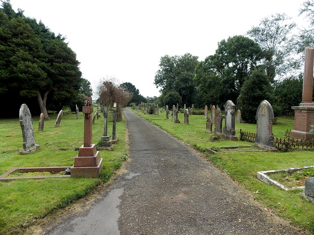
Path through St Michael's Cemetery Pembroke
The cemetery occupies a long (200 metres) narrow (35 metres) rectangle of land between
Upper Lamphey Road at its northern edge and a railway line at its southern edge.
Upper Lamphey Road at its northern edge and a railway line at its southern edge.
 Map © Crown Copyright")
TIP: Click the map for more Large scale mapping
- Grid Square
- SM9901, 93 images (more nearby 🔍)
- Photographer
- Jaggery (more nearby)
- Date Taken
- Thursday, 12 September, 2013 (more nearby)
- Submitted
- Tuesday, 17 September, 2013
- Subject Location
-
OSGB36:
 SM 9970 0100 [10m precision]
WGS84: 51:40.3181N 4:53.8890W - Camera Location
-
OSGB36: SM 9970 0106
- View Direction
- SOUTH (about 180 degrees)