2013
SH9632 : Farm access road leading to Gwern-yr-ewig
taken 11 years ago, 3 km from Rhos-y-Gwaliau, Gwynedd, Wales
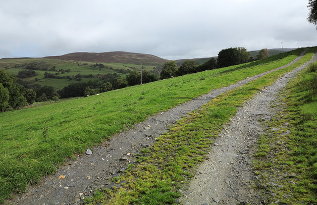
Farm access road leading to Gwern-yr-ewig
A forestry road rises from Cwm Hirnant and continues as the access to the farm at Gwern-yr-ewig; Foel Cwm-Sian Llwyd is the moorland mountain seen across the valley.
 Map © Crown Copyright")
TIP: Click the map for more Large scale mapping
- Grid Square
- SH9632, 9 images (more nearby 🔍)
- Photographer
- Trevor Littlewood (more nearby)
- Date Taken
- Monday, 16 September, 2013 (more nearby)
- Submitted
- Wednesday, 18 September, 2013
- Subject Location
-
OSGB36:
 SH 9623 3205 [10m precision]
WGS84: 52:52.5526N 3:32.5974W - Camera Location
-
OSGB36: SH 9617 3209
- View Direction
- East-southeast (about 112 degrees)