2013
TQ3036 : Worth Way
taken 11 years ago, near to Crabbet Park, West Sussex, England
This is 1 of 9 images, with title Worth Way in this square
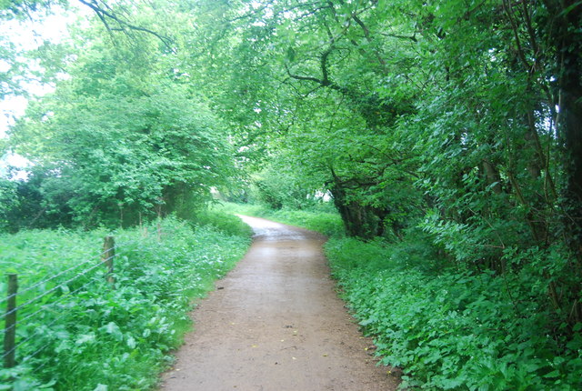
Worth Way
The Worth Way is a 7 mile long footpath and bridleway linking the West Sussex towns of Crawley and East Grinstead via the village of Crawley Down. Mostly following the trackbed of a disused railway the path is an important wildlife corridor. It is part of the National Cycle Network.
The Worth Way follows for much of its route part of the course of a dismantled railway - the Three Bridges to Tunbridge Wells Central Line - which opened in 1855 and closed in 1967. By 1977 West Sussex County Council had purchased almost four miles of the line, mostly in the parish of Worth. In 1979 much of the route was officially reopened as a footpath and bridleway.
See other images of Worth Way
 Map © Crown Copyright")
TIP: Click the map for more Large scale mapping
- Grid Square
- TQ3036, 353 images (more nearby 🔍)
- Photographer
- N Chadwick (more nearby)
- Date Taken
- Thursday, 30 May, 2013 (more nearby)
- Submitted
- Thursday, 19 September, 2013
- Subject Location
-
OSGB36:
 TQ 3084 3652 [10m precision]
WGS84: 51:6.7827N 0:7.9315W - Camera Location
-
OSGB36: TQ 3086 3653
- View Direction
- West-southwest (about 247 degrees)