2013
NG3937 : Surveyor's pole?
taken 11 years ago, 4 km ESE of Coillore, Isle of Skye, Scotland
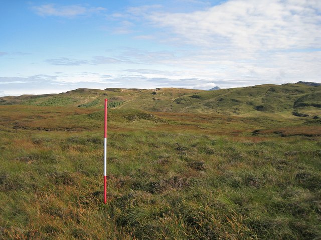
Surveyor's pole?
I came upon this pole, fixed too firmly in the ground for me to pull it out, amid miles of empty moorland, but close-ish to a wind measuring mast (see NG3937 : Wind measuring mast). I do hope it is not marking the possible site for yet another wind turbine.
 Map © Crown Copyright")
TIP: Click the map for more Large scale mapping
- Grid Square
- NG3937, 7 images (more nearby 🔍)
- Photographer
- Richard Dorrell (more nearby)
- Date Taken
- Wednesday, 25 September, 2013 (more nearby)
- Submitted
- Thursday, 26 September, 2013
- Subject Location
-
OSGB36:
 NG 396 372 [100m precision]
WGS84: 57:21.0453N 6:19.7764W - Camera Location
-
OSGB36: NG 396 372
- View Direction
- Southeast (about 135 degrees)