2013
H1015 : Kilnamaddyroe Townland
taken 11 years ago, 3 km from Derradda, Co Leitrim, Ireland
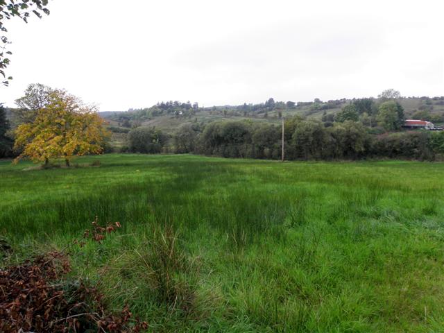
Kilnamaddyroe Townland
Looking west
Loading map... (JavaScript required)
- Grid Square
- H1015, 2 images (more nearby 🔍)
- Photographer
- Kenneth Allen (more nearby)
- Date Taken
- Monday, 30 September, 2013 (more nearby)
- Submitted
- Tuesday, 1 October, 2013
- Subject Location
-
Irish:
 H 108 156 [100m precision]
WGS84: 54:5.4112N 7:50.0685W - Camera Location
-
Irish: H 109 156
- View Direction
- West-northwest (about 292 degrees)