2013
TG2014 : B1149 Holt Road, Horsford
taken 11 years ago, near to Horsford, Norfolk, England
This is 1 of 6 images, with title B1149 Holt Road, Horsford in this square
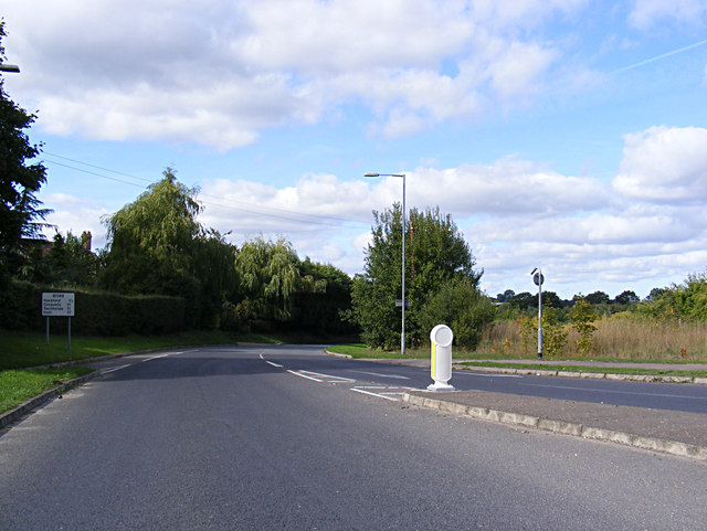
B1149 Holt Road, Horsford
At the junction with the A140 Cromer & Holt Roads
 Map © Crown Copyright")
TIP: Click the map for more Large scale mapping
- Grid Square
- TG2014, 47 images (more nearby 🔍)
- Photographer
- Geographer (more nearby)
- Date Taken
- Thursday, 26 September, 2013 (more nearby)
- Submitted
- Tuesday, 1 October, 2013
- Subject Location
-
OSGB36:
 TG 20508 14057 [1m precision]
WGS84: 52:40.7587N 1:15.6341E - Camera Location
-
OSGB36: TG 20508 14057
- View Direction
- West-northwest (about 292 degrees)