2013
NG2755 : Ribbon development alongside the B886
taken 11 years ago, near to Lusta, Isle of Skye, Scotland
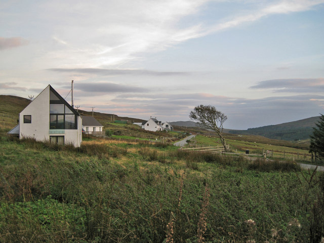
Ribbon development alongside the B886
The planning authority is allowing new houses to be built along much of the B886 in Lusta and Brae Stein. Many are very large, and some are seldom-occupied holiday homes. See also: NG2755 : Yet another new-build.
 Map © Crown Copyright")
TIP: Click the map for more Large scale mapping
- Grid Square
- NG2755, 9 images (more nearby 🔍)
- Photographer
- Richard Dorrell (more nearby)
- Date Taken
- Monday, 30 September, 2013 (more nearby)
- Submitted
- Friday, 4 October, 2013
- Subject Location
-
OSGB36:
 NG 2721 5524 [10m precision]
WGS84: 57:30.2955N 6:33.3545W - Camera Location
-
OSGB36: NG 2720 5529
- View Direction
- SOUTH (about 180 degrees)