2013
TF1020 : Car Dyke diversion, looking west
taken 11 years ago, near to Bourne, Lincolnshire, England
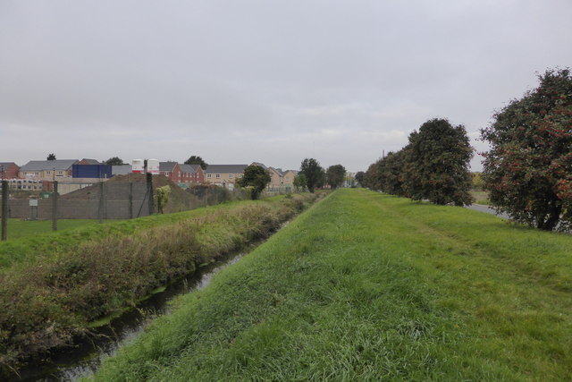
Car Dyke diversion, looking west
The Roman Car Dyke was diverted to the east of the town in the 20th century, when it was found that the flow via the Eau at Queens Bridge was inadequate.
Car Dyke
A 57-mile man made ancient drainage watercourse between Lincoln and Peterborough. The circumstantial evidence points to the skill of Roman engineers but documentary evidence is inconclusive, though it is generally assumed to be Roman.
It was originally thought to continue south of Peterborough to the Waterbeach canal, north east of Cambridge, but no link has been proven.
 Map © Crown Copyright")
TIP: Click the map for more Large scale mapping
- Grid Square
- TF1020, 61 images (more nearby 🔍)
- Photographer
- Bob Harvey (more nearby)
- Date Taken
- Monday, 7 October, 2013 (more nearby)
- Submitted
- Monday, 7 October, 2013
- Subject Location
-
OSGB36:
 TF 1029 2018 [10m precision]
WGS84: 52:46.0779N 0:22.0060W - Camera Location
-
OSGB36: TF 10385 20203
- View Direction
- WEST (about 270 degrees)