2013
TQ2407 : A27, Brighton bypass
taken 11 years ago, near to Mile Oak, Brighton And Hove, England
This is 1 of 2 images, with title A27, Brighton bypass in this square
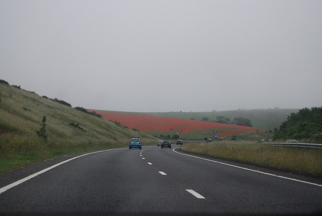
A27, Brighton bypass
A fine crop of Poppies in the distance.
 Map © Crown Copyright")
TIP: Click the map for more Large scale mapping
- Grid Square
- TQ2407, 63 images (more nearby 🔍)
- Photographer
- N Chadwick (more nearby)
- Date Taken
- Sunday, 30 June, 2013 (more nearby)
- Submitted
- Tuesday, 8 October, 2013
- Subject Location
-
OSGB36:
 TQ 2447 0795 [10m precision]
WGS84: 50:51.4606N 0:13.9754W - Camera Location
-
OSGB36: TQ 2442 0794
- View Direction
- EAST (about 90 degrees)