2013
NT5449 : Earnscleugh Water
taken 11 years ago, near to Lauder, Scottish Borders, Scotland
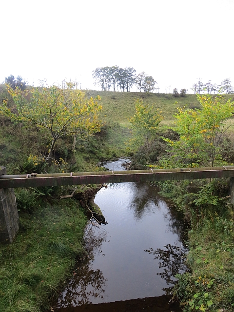
Earnscleugh Water
Upstream from the track bridge.
 Map © Crown Copyright")
TIP: Click the map for more Large scale mapping
- Grid Square
- NT5449, 13 images (more nearby 🔍)
- Photographer
- Richard Webb (more nearby)
- Date Taken
- Sunday, 6 October, 2013 (more nearby)
- Submitted
- Wednesday, 9 October, 2013
- Subject Location
-
OSGB36:
 NT 5459 4921 [10m precision]
WGS84: 55:44.0488N 2:43.4817W - Camera Location
-
OSGB36: NT 5460 4920
- View Direction
- West-northwest (about 292 degrees)