2013
ST3898 : Track along the east bank of the River Usk
taken 11 years ago, near to Llanllowell, Monmouthshire/Sir Fynwy, Wales
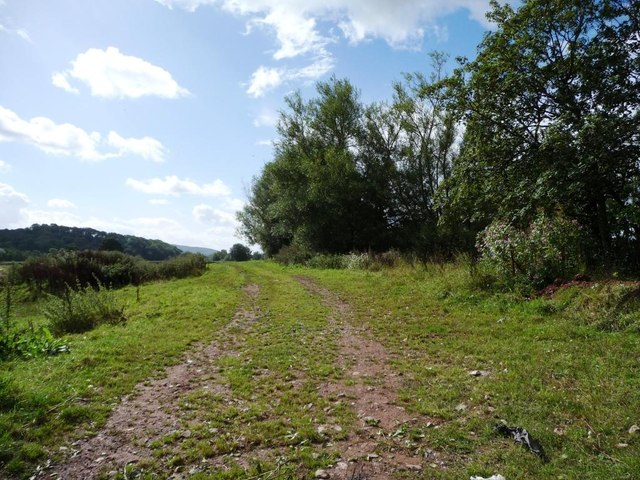
Track along the east bank of the River Usk
Providing access to fields in a loop of the river, west of Llanllowell.
 Map © Crown Copyright")
TIP: Click the map for more Large scale mapping
- Grid Square
- ST3898, 19 images (more nearby 🔍)
- Photographer
- Christine Johnstone (more nearby)
- Date Taken
- Monday, 16 September, 2013 (more nearby)
- Submitted
- Thursday, 10 October, 2013
- Subject Location
-
OSGB36:
 ST 3893 9889 [10m precision]
WGS84: 51:41.1259N 2:53.0868W - Camera Location
-
OSGB36: ST 3894 9891
- View Direction
- South-southwest (about 202 degrees)