2013
TQ8114 : Stonestile Lane
taken 10 years ago, near to Westfield, East Sussex, England
This is 1 of 2 images, with title Stonestile Lane in this square
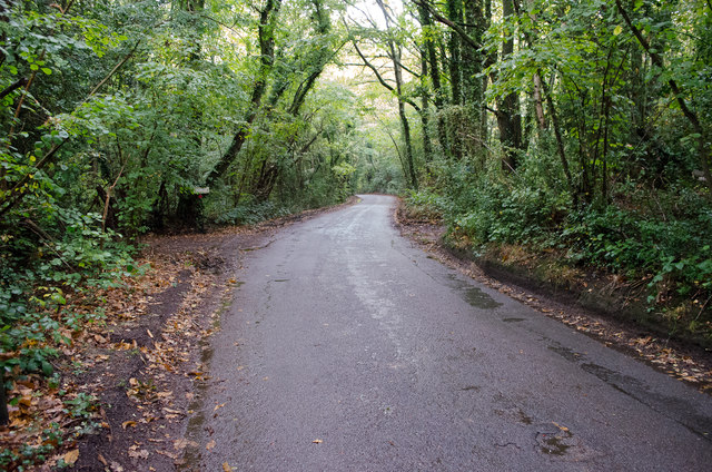
Stonestile Lane
 Map © Crown Copyright")
TIP: Click the map for more Large scale mapping
- Grid Square
- TQ8114, 12 images (more nearby 🔍)
- Photographer
- Peregrine (more nearby)
- Date Taken
- Saturday, 19 October, 2013 (more nearby)
- Submitted
- Saturday, 19 October, 2013
- Subject Location
-
OSGB36:
 TQ 8155 1440 [10m precision]
WGS84: 50:54.0320N 0:34.8311E - Camera Location
-
OSGB36: TQ 8156 1436
- View Direction
- North-northwest (about 337 degrees)