2013
SN8723 : Ffarm Pentre Uchaf / Pentre Uchaf Farm
taken 10 years ago, near to Crai, Powys, Wales
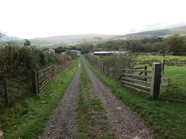
Ffarm Pentre Uchaf / Pentre Uchaf Farm
Trac a llwybr cyhoeddus yn arwain i lawr o'r ucheldir at Ffarm Pentre Uchaf.
Track and public footpath leading down from higher ground towards Pentre Uchaf Farm (trans. upper senior farm).
Track and public footpath leading down from higher ground towards Pentre Uchaf Farm (trans. upper senior farm).
 Map © Crown Copyright")
TIP: Click the map for more Large scale mapping
- Grid Square
- SN8723, 6 images (more nearby 🔍)
- Photographer
- Alan Richards (more nearby)
- Date Taken
- Thursday, 24 October, 2013 (more nearby)
- Submitted
- Thursday, 24 October, 2013
- Subject Location
-
OSGB36:
 SN 8747 2391 [10m precision]
WGS84: 51:54.1399N 3:38.2215W - Camera Location
-
OSGB36: SN 8747 2394
- View Direction
- SOUTH (about 180 degrees)