2013
SX9588 : This way for a damp walk
taken 10 years ago, near to Exminster, Devon, England
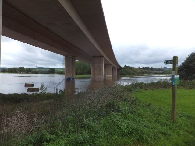
This way for a damp walk
The sign points to a footpath which follows the fence under the M5 viaduct. After heavy rain, the marshland flooded and the footpath is impassable.
 Map © Crown Copyright")
TIP: Click the map for more Large scale mapping
- Grid Square
- SX9588, 173 images (more nearby 🔍)
- Photographer
- David Smith (more nearby)
- Date Taken
- Saturday, 26 October, 2013 (more nearby)
- Submitted
- Wednesday, 30 October, 2013
- Subject Location
-
OSGB36:
 SX 9527 8864 [10m precision]
WGS84: 50:41.2773N 3:29.0374W - Camera Location
-
OSGB36: SX 9530 8866
- View Direction
- West-southwest (about 247 degrees)