2006

SX7579 : Becka Brook valley

taken 18 years ago, near to Manaton, Devon, England
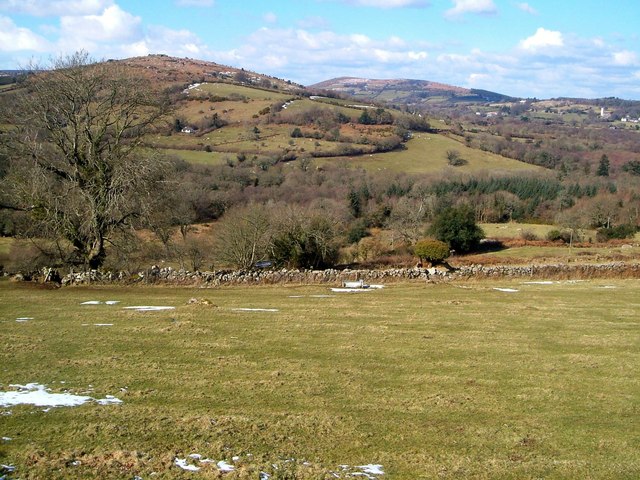
Becka Brook valley
Becka Brook valley
The view in the background is very similar to SX7579 : View near Leighon, taken a little further up Manaton Byway 49.

Creative Commons Licence [Some Rights Reserved]   © Copyright Derek Harper and licensed for reuse under this Creative Commons Licence.
Geographical Context: Lowlands Uplands Farm, Fishery, Market Gardening Village, Rural settlement Woodland, Forest National Park: Dartmoor other tags: Valley Pasture Woods Moorland Field Boundaries Trees Farmland Village Click a tag, to view other nearby images.
This photo is linked from: Automatic Clusters: · View across the Becka Brook Valley [11] · View from Manaton Byway 49 [4] ·
1:50,000 Modern Day Landranger(TM) Map © Crown Copyright
+
+
1:50,000 Modern Day Landranger(TM) Map © Crown Copyright
TIP: Click the map for more Large scale mapping
Grid Square
SX7579, 75 images   (more nearby 🔍)
Photographer
Derek Harper   (more nearby)
Date Taken
Saturday, 4 March, 2006   (more nearby)
Submitted
Saturday, 2 November, 2013
Subject Location
OSGB36: geotagged! SX 753 797 [100m precision]
WGS84: 50:36.2194N 3:45.8109W
Camera Location
OSGB36: geotagged! SX 758 793
View Direction
Northwest (about 315 degrees)
Clickable map
+
NW N NE
W Go E
SW S SE
Image classification(about): Geograph
This page has been viewed about 21 times
You are not logged in login | register