2013
TM1043 : A1071 Thorpe's Hill, Burstall
taken 10 years ago, near to Burstall, Suffolk, England
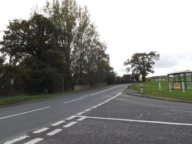
A1071 Thorpe's Hill, Burstall
At the junction with Sproughton Corner
 Map © Crown Copyright")
TIP: Click the map for more Large scale mapping
- Grid Square
- TM1043, 37 images (more nearby 🔍)
- Photographer
- Geographer (more nearby)
- Date Taken
- Friday, 1 November, 2013 (more nearby)
- Submitted
- Sunday, 3 November, 2013
- Subject Location
-
OSGB36:
 TM 10731 43835 [1m precision]
WGS84: 52:3.1689N 1:4.3255E - Camera Location
-
OSGB36: TM 10742 43864
- View Direction
- South-southwest (about 202 degrees)