2013
TQ7961 : Dunn Street Road, near Bredhurst
taken 10 years ago, near to Bredhurst, Kent, England
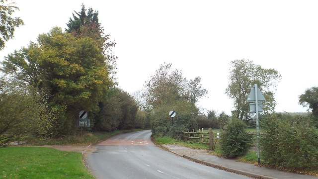
Dunn Street Road, near Bredhurst
The national speed limit signs indicate that the road is leaving the village of Bredhurst and heading into countryside.
 Map © Crown Copyright")
TIP: Click the map for more Large scale mapping
- Grid Square
- TQ7961, 22 images (more nearby 🔍)
- Photographer
- Malc McDonald (more nearby)
- Date Taken
- Saturday, 2 November, 2013 (more nearby)
- Submitted
- Sunday, 3 November, 2013
- Subject Location
-
OSGB36:
 TQ 7906 6149 [10m precision]
WGS84: 51:19.4595N 0:34.1100E - Camera Location
-
OSGB36: TQ 7909 6149
- View Direction
- WEST (about 270 degrees)