2013
J4059 : The Old Cart Road, Saintfield (2)
taken 10 years ago, near to Saintfield, Co Down, Northern Ireland
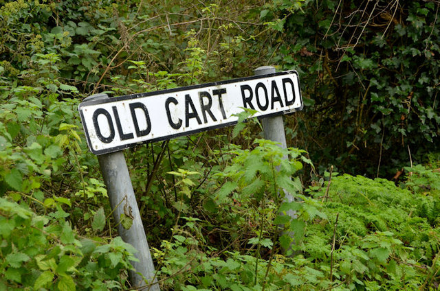
The Old Cart Road, Saintfield (2)
See J4059 : The Old Cart Road, Saintfield (1). The sign at the Comber Road end.
Loading map... (JavaScript required)
- Grid Square
- J4059, 112 images (more nearby 🔍)
- Photographer
- Albert Bridge (more nearby)
- Date Taken
- Wednesday, 6 November, 2013 (more nearby)
- Submitted
- Wednesday, 6 November, 2013
- Subject Location
-
Irish:
 J 405 593 [100m precision]
WGS84: 54:27.7695N 5:50.0025W - Camera Location
-
Irish: J 405 593
- View Direction
- WEST (about 270 degrees)