2013
NT4926 : Ruined dyke, Whitmuir
taken 10 years ago, near to Clerklands, Scottish Borders, Scotland
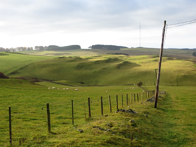
Ruined dyke, Whitmuir
The remains of drystone walling at Whitmuir. There is a view over the ridged hills that are typical of the area towards the Ashkirk radio mast.
 Map © Crown Copyright")
TIP: Click the map for more Large scale mapping
- Grid Square
- NT4926, 21 images (more nearby 🔍)
- Photographer
- Richard Webb (more nearby)
- Date Taken
- Sunday, 17 November, 2013 (more nearby)
- Submitted
- Sunday, 17 November, 2013
- Subject Location
-
OSGB36:
 NT 4917 2661 [10m precision]
WGS84: 55:31.8336N 2:48.4088W - Camera Location
-
OSGB36: NT 4920 2665
- View Direction
- Southwest (about 225 degrees)