2013
NN4609 : Loch Katrine
taken 10 years ago, near to Loch Katrine [water Feature], Stirling, Great Britain
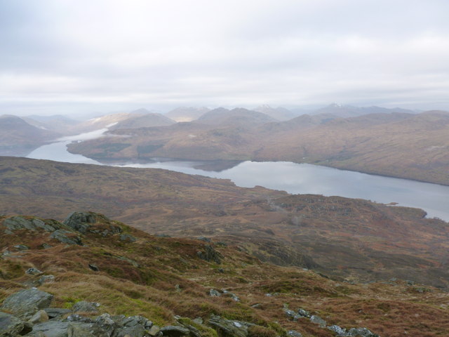
Loch Katrine
The main source of tap water for Glasgow for more than 150 years.
 Map © Crown Copyright")
TIP: Click the map for more Large scale mapping
- Grid Square
- NN4609, 4 images (more nearby 🔍)
- Photographer
- Alan O'Dowd (more nearby)
- Date Taken
- Sunday, 17 November, 2013 (more nearby)
- Submitted
- Sunday, 17 November, 2013
- Subject Location
-
OSGB36:
 NN 466 094 [100m precision]
WGS84: 56:15.1851N 4:28.6280W - Camera Location
-
OSGB36: NN 473 063
- View Direction
- North-northwest (about 337 degrees)