2013
NT2422 : Path, St Mary's Loch
taken 10 years ago, near to Cappercleuch, Scottish Borders, Scotland
This is 1 of 2 images, with title Path, St Mary's Loch in this square
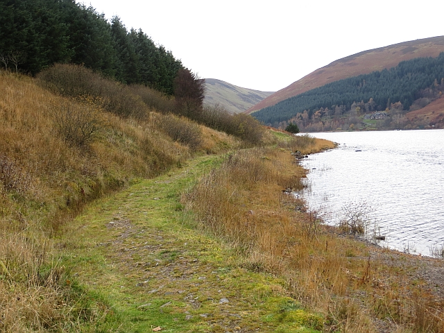
Path, St Mary's Loch
Built to carry the Southern Upland Way, the rather underused long distance path across southern Scotland.
 Map © Crown Copyright")
TIP: Click the map for more Large scale mapping
- Grid Square
- NT2422, 68 images (more nearby 🔍)
- Photographer
- Richard Webb (more nearby)
- Date Taken
- Sunday, 24 November, 2013 (more nearby)
- Submitted
- Sunday, 24 November, 2013
- Subject Location
-
OSGB36:
 NT 2485 2238 [10m precision]
WGS84: 55:29.3651N 3:11.4520W - Camera Location
-
OSGB36: NT 2489 2241
- View Direction
- Southwest (about 225 degrees)